


As a subconsultant, DJ&A provided civil engineering support on a two-part project near the Mount Timpanogos Cave National Monument near American Fork, Utah.
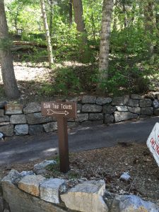
In the early nineties, an electrical fire destroyed the visitor center serving the Timpanogos Cave National Monument. The evaluation of a variety of alternatives led to the selection of a preferred alternative which included a new visitor center to be located in a narrow canyon bound by the American Fork River to the north and steep rocky cliffs to the south. To allow for maximum use of the space available in the canyon, DJ&A was tasked with relocating a ¼-mile section of the Highway 89 and to design a rock fall fence to protect the visitor center and parking area adjacent to the rock cliffs. Another portion of the site development included relocation, upgrades, and replacement of water mains and services supplying water to the new visitor contact station. This area contained both natural and cultural resource concerns that will be considered in the design of the water system.
The second half of the project involves the design of the new Highland Interagency Center, which will house office space for the National Park Service and the Uinta Cache National Forest. Site development for the Highland building required the design of a looped 8” water main to provide potable water service and fire suppression to the site. DJ&A was responsible for creating and calibrating a model that determined the anticipated flows and pressures that will be available with the proposed water system improvements. DJ&A provided both design development and construction document services to the National Park Service for this project.
Key Services
- Survey and mapping
- Development of alternatives
- Traffic impact analysis
- Utility service design (water, sewer, electricity, communications)
- Development of construction drawing packages
- Coordination with Utah Department of Transportation, Utah DEQ, and Rocky Mountain Power
Value Added
DJ&A elected to use a terrestrial based LiDAR scanner to collect data while surveying the project site. This technology provided an extremely high point density and allowed DJ&A to mine additional survey data from the original scan at a later date when the scope of the project site was expanded.


