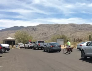
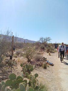
DJ&A worked with the U.S. National Park Service to use mobile location data to analyze recreational and nonrecreational visitation proportions on select roads that pass through the park and are used by park visitors and commuters. We worked with a U.S. National Park Service project core team that included park staff and social science experts from the U.S. National Park Service Social Science Program to design and implement the study. We helped U.S. National Park Service evaluate the suitability of alternative mobile location data products for the project’s “use case”, which provided them with an informed basis to choose for us to use connected vehicles (CV) data for the analysis. The CV data were suitable in this case, because the focus of the analysis was specifically on vehicle-based recreational and non-recreational travel/visits to and through the park.
At the time of the study, we were able to acquire raw CV data that included time-stamped latitude and longitude coordinates for vehicles sighted in the park during the analysis period. These were particularly powerful data due to their high degree of temporal granularity (sighting datapoints up to every few seconds) and spatial precision (GPS-based data from CV onboard computer systems). Today, CV data are available only in platform-based formats, which would not have been suitable for the analysis in this project.
Our methods for the analysis of the CV data for this project included: 1) producing a boundaries layer including the full extent of the East and West districts of Saguaro National Park; 2) applying geofencing to the boundaries layer to exclude nonrecreational roads and areas on the periphery of the park’s boundaries and to isolate select park roadways for analysis of commuter versus recreational visitor traffic; 3) acquiring CV data for a 12-month period; 4) conducting data
cleaning, filtering, and analysis of the CV data; and 5) producing metrics and a summary report regarding recreational and nonrecreational visitation percentages on park-maintained roads and travel routes, distances, and times. The U.S. National Park Service has used the results of this work to update and improve their visitor use counting and visitor use statistics reporting, and to take a data-driven approach to manage use in the park.
Key Services
- Study design and methods development
- Statistical and geospatial analysis
- Passive mobile data analysis
- Visitation estimation modeling
- Project report and virtual presentations

