


DJ&A was tasked with completing a full topographic survey of a 400-ft section of East Evans Creek near Rogue River, Oregon, to help perform the design of a future high-water crossing.
Residents living on East Evans Creek access their properties via a low-water bridge. During seasons of heavy rain, water levels in the creek swell over the bridge and it becomes temporarily impassable. To provide a safe passage for homeowners during occasional creek swells, the BLM, in partnership with USFS, plan to replace the low-water crossing with a bridge that can cross over the seasonal runoff.
A two-person survey crew coordinated with 5 adjacent landowners to gain access to land to complete the work, which involved traversing uneven terrain and navigating through thick blackberry bushes. It was discovered mid-project that a property boundary did not align with the property owner’s deed and the road easement did not adequately document the right-of-way. A full topographic map, including utility locations and approximate access road easement lines were delivered to the BLM. BLM has extended the contract to provide support in resolving the adjacent property boundary issues and redefine the road easement.
Key Services
- Performed remote and rural topographic survey
- Coordinated with five adjacent landowners for property access
- Performed utility location
- Designed cross sections for 200-feet upstream and downstream of bridge with 25-ft on center spacing
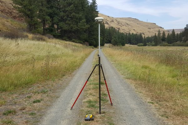
- Established and tied a project survey control network to the Oregon State Plane Coordinate System (NAD83) using Trimble GNSS equipment
- Delivered AutoCAD mapping with all topographic features, current easements, and rights of way
Value Added
The expertise of DJ&A’s Certified Federal Surveyor (CFedS) played a critical role in this project by evaluating and providing a professional on the validity of an existing road easement and property boundary documents.

