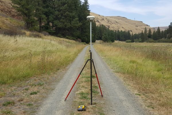
DJ&A is frequently recognized as one of the most capable surveying, mapping, and GIS firms in the western US. Staying at the forefront of technology enables our survey crews to operate safely and efficiently and reduce costs for our clients. We continually invest in and operate the latest versions of survey equipment and software, including high-definition laser scanners and state-of-the-art UAS and aerial LiDAR systems.
Our GIS team specializes in transforming spatial data into easily understood and accessible information. From asset management and cost estimates to field validation and data visualization, DJ&A provides comprehensive and cost-effective geospatial solutions for public and private agency clients.
Key Services
Survey, Mapping, & Geospatial
- Certificate and/or Record of Surveys
- Retracement & Boundary Surveys
- Subdivision Plats
- Cadastral Surveys
- Easement & Encumbrance Analysis Surveys
- Design, Route and Location Surveys
- Right-of-Way Surveys, Easements, and Legal Descriptions
- ALTA Surveys
- Topographic Surveys
- Wetland & Environmental Surveys
- Waterway, Drainage, & Irrigation Surveys
- Utility Surveys
- Construction Surveys & Staking
- As-Built Surveys
- Quantity Surveys
- HAZMAT Certified Survey Services
- Geodetic Control Surveys
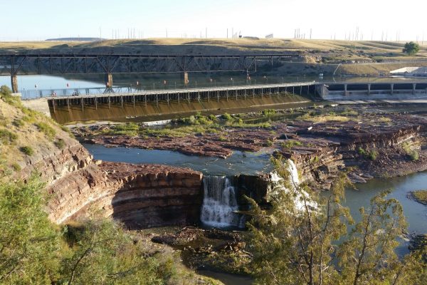
- Dam Monitoring
- GIS Integration
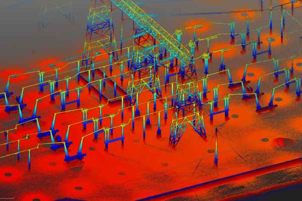
Remote Sensing
- UAS (Drone) LiDAR and Photogrammetry
- Large-Scale Aerial LiDAR (Crewed Aircraft)
- Terrestrial Laser Scanning
- Bathymetric Sonar
GIS
- GIS Needs Assessments
- GIS Implementation
- CAD GIS Integration
- GIS Database Design
- GIS Analysis
- Cartographic Production
- Database Conversion
- Control Surveys for GIS
- Data Modeling
- Field Data Collection
- GPS Mapping
- Web App Development